
Streetname Changes
Streetname Changes
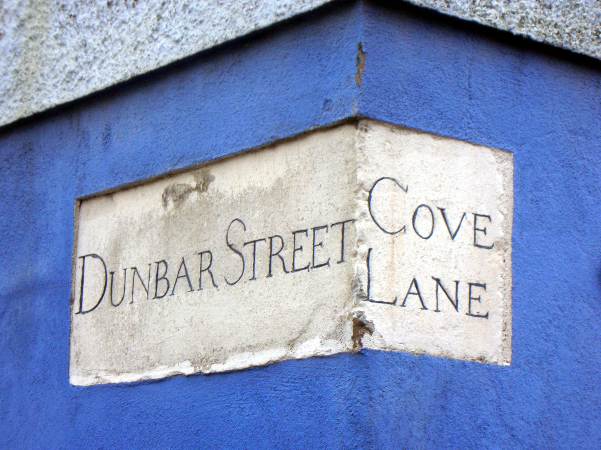
Changes in the Streetnames of Cork
Donated by Tom Spalding who compiled the data during research for his book Layers: the Design, History & Meaning of Public Street Signage in Cork & other Irish cities
This table is based on analysis of Ordnance Survey maps (which take precedence), other early maps, Corporation Minutes, street directories, title deeds and other sources. As well as listing old and new names it contains information on significant new streets laid since 1800. Much of the source information is available on corkpastandpresent.ie. It is a work in progress and any additions or corrections are welcome. This work concentrates on city streets outside the medieval core, which is covered well in Gina Johnson’s ‘The Laneways of Medieval Cork’. To see fuller information or dates for the entries on the table, please click the link below to download a detailed PDF.
Streetname Changes
| CHANGED... | CHANGED... | ||||||
| 2013 Name | Before | After | Previous Name | Before | After | Name(s) Prior | |
| 98 Street | 1899 | 1898 | Hospital Lane | 1801 | 1773 | Beggar Man's Lane | |
| Abbey Street | Red Abbey Lane | ||||||
| Academy Street | Crooked Billet | ||||||
| Adelaide Street | Hoare's (or Hoar's) Lane | Pike's Lane | |||||
| Albert Road | Victoria Road (part of) | An entirely new road | |||||
| Albert Street | An entirely new road | ||||||
| Anderson's Quay | Lapp's Island (part of) | ||||||
| Anglesea Street | Anglesea Road | ||||||
| Ascension Heights | 1916 Road | ||||||
| Assumption Road | Watercourse Mill Road | Black Miller Lane | |||||